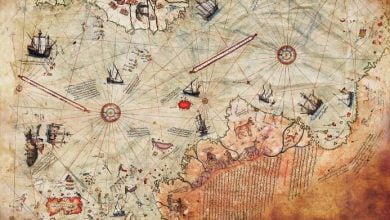
Piri Reis Map – How Could A 16th Century Map Show Antarctica Without Ice?
Could the Piri Reis map have been based on the documents of a yet undiscovered, prehistoric civilization, one that could possess technology enabling them to travel and accurately chart the globe?
Copy and paste this URL into your WordPress site to embed
Copy and paste this code into your site to embed
